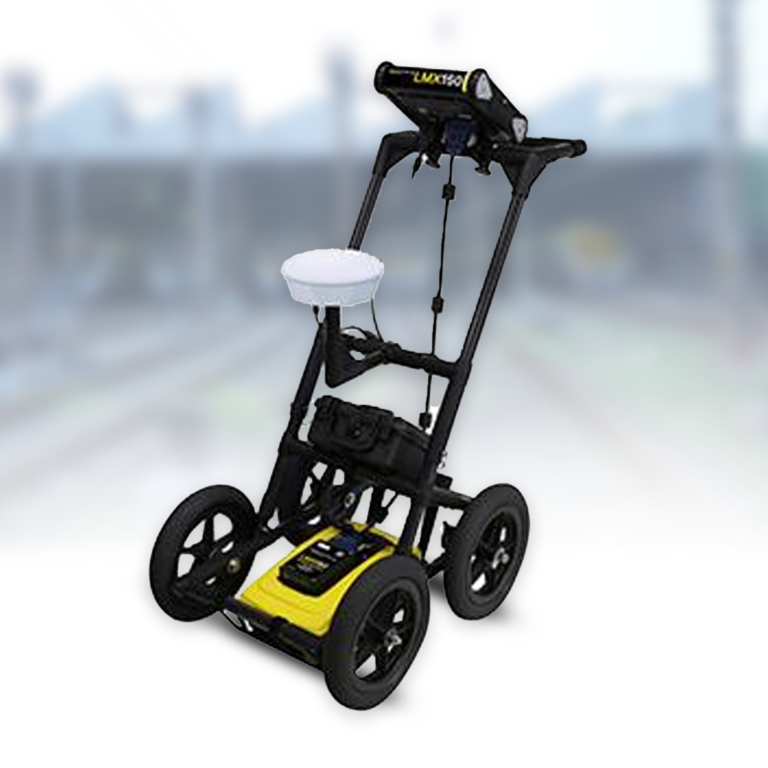
The LMX150™ FINDAR® is a compact, high-resolution utility locating system featuring a patented ultra-wideband 500MHz GPR antenna capable of scanning depths up to 3 meters (10 ft). The system offers comprehensive visualization through Line Scan mode with SplitView, Grid Scan, and MapView capabilities on its high-visibility touchscreen display. With both integrated GPS and optional external GPS support, the system provides precise geo-referencing for accurate utility mapping and documentation.
Built for field efficiency, the system features a rugged, all-terrain fiberglass cart with an integrated odometer for easy maneuverability across any surface. The metal-free construction ensures optimal GPR signal performance, while built-in Wi-Fi enables instant on-site report generation. The system includes USB connectivity for data transfer and supports integration with EKKO_Project GPR Software for advanced analysis and reporting. Free lifetime software updates ensure the system remains current with the latest capabilities.
Applications
– Concrete infrastructure mapping (storm and sewer systems
Mapping of both metallic and non-metallic pipes and cables (metallic pipes, electrical cable, telecom cable, PVC, asbestos cement)
– 3D mapping of underground utility
– Depth slice- investigation at a particular depth
– Underground storage tank detection
– Septic system component mapping
– Fiber optic cable location
– Structural feature detection (vaults, foundations)
– High-precision utility mapping with GPS integration