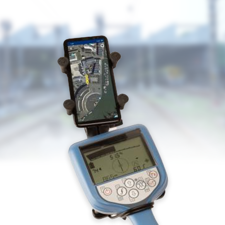
RD Map™ is a free Android-based Map&Share™ application designed to work seamlessly with Radiodetection’s Bluetooth-enabled Precision locators, including RD8200®, RD7100® RF marker, and RD8100® series. The system utilizes Google Maps as its foundation, enabling real-time creation of detailed subsurface utility maps with industry-standard American Public Works Association color coding for clear visualization and documentation of underground infrastructure.
Built for field efficiency, RD Map offers flexible GPS functionality, supporting position data from the locator itself, the Android device, or external high-precision GPS/GNSS receivers for enhanced accuracy. The software includes integrated measurement tools for immediate GPS accuracy validation and correction. With its comprehensive sharing capabilities, users can export data in KML or CSV formats directly from the field, while an online knowledge base and 24/7 technical support portal ensure continuous operational support.
Applications
– Underground utility mapping and documentation
– Field-based infrastructure surveys
– GPS-integrated utility tracking
– Construction site planning
– Infrastructure maintenance documentation
– Utility color coding compliance
– Real-time map creation and editing
– High-precision position measurement